|
Boundary surveys
Most of our work involves boundary surveying. The “heart” of a boundary survey is the land surveyor’s professional opinion as to precisely where the parcel boundaries are located. A boundary survey may include:
- extensive research into pertinent documents (deeds, maps, and other records) and other data (sometimes including the testimony of those familiar with the parcel);
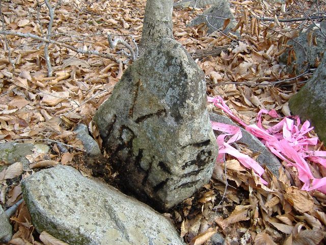
- extensive “reconnaissance” to find all relevant physical evidence (iron pins, pipes, and other types of corner monuments; stone walls, old fences, etc.);
- a field survey to precisely locate the pertinent evidence and then to set monuments (usually iron pins) where necessary;
- analysis of all of the evidence recovered (which may require research into particular principles of boundary law, pertinent court cases, etc.) and the formulation of a professional opinion as to boundary location;
- a map of the parcel(s), usually of archival quality and on a medium acceptable to the Registry of Deeds for recording;
- when required, a legal description of the parcel for insertion into a deed;
- when necessary, a report on the parcel boundaries;
- when necessary, expert testimony in court.
|